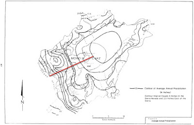
The Mono Basin has a classic rain shadow--over forty inches of annual precipitation at Tioga Pass, on the crest of the Sierra, and about seven inches on the east side of Mono Lake. Those two locations are separated by an elevation difference of 3,500 vertical feet and a distance of 15 miles.
 |
| Isohyetal map of the Mono Basin from Vorster, 1985. Red line depicts the precipitation gradient discussed in this blog. |